
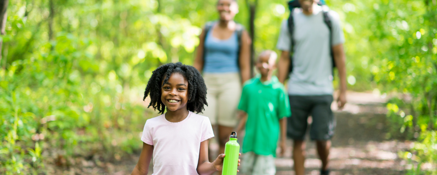
For those who love to stretch their legs, take in the beautiful scenery, and go for a hike, you are in luck. There are plenty of options for Lake Norman hiking. You can choose from short paved paths or longer natural trails for amazing day hiking. Whether you hike during the Spring, Summer, Fall, or Winter, this is a year-round outdoor activity that everyone can enjoy. Most trails are open from sunrise to sunset, so there is so much time to indulge in this budget-friendly recreation.
Check out our Area Guide for more great things to do and places to stay during your next Lake Norman getaway.
Lace-up your sneakers or hiking boots and head out to one of these fabulous trails. Below, we will walk you through the best Lake Norman hiking trails. Please be sure to check applicable websites for up-to-date trail information.
Ramsey Creek Loop
Distance: 1.6 miles
Address: 18441 Nantz Road, Cornelius, NC
The Ramsey Creek Loop is at waterfront Jetton Park in Cornelius, NC. This 1.6-mile trail is considered easy and takes approximately 31 minutes to complete. Many locals and visitors enjoy the area for various recreation, such as fishing, birding, and mountain biking. This park even has a beach area, perfect for taking a dip after a hike.
Caldwell Station Creek Greenway
Distance: 4.3 miles
Address: 10000 Bailey Road, Cornelius, NC
You will feel a world away when you hike the Calwell Station Creek Greenway. Stroll wooden bridges in the shade of lush trees—it will feel like a fairy tale. This 4.3-mile trail is located near Target and Lowe’s. Hikers of all levels can enjoy this flat and well-maintained path. Experience the natural beauty of the area year-round. For something extra special, visit for a colorful leaf display during the fall.
Robbins Park & Nature Preserve
Distance: .13-.7 miles (depending on trial)
Address: 17738 West Catawba Avenue, Cornelius
Create your own trail experience by combining any or all of the five trails at Robbins Park & Nature Preserve in Cornelius. The Yellow Trail (.2 miles), Orange Trail (.5 miles), Blue Trail (.6 miles), Red Trail (.7 mile), Black Trail (.13 miles), and Whilte Trail (.2 miles) interconnect and can be combined for a long hike. You may prefer to only walk the Yellow Trail around one of the fishing ponds. The park also features an athletic complex, sand volleyball courts, tennis courts, a nature-themed playground, a picnic shelter, and restrooms. For those who are really looking to stretch their legs, the McDowell Creek Greenway connects with the park’s trail system. Click here for a park map.
McDowell Creek Greenway
Distance: 3.1 miles (one way)
Address: Two Trailheads – Magnolia Estates Drive, Cornelius, and 16815 Cranlyn Road, Birkdale Village, Huntersville
The McDowell Creek Greenway is a 3.1-mile paved path connecting Cornelius and Hunstville. Visitors can traverse through various habitats, including wetlands with butterfly-attracting plants. The southern half of the greenway features flat terrain, and the northern section has more elevation gains. You can access the greenway via one of two trailheads (see above) or one of the Robbins Park trails. Click here for more information and a trail map.
Latta Nature Preserve
Distance: 18+ miles of trails
Address: 6345 Sample Road, Huntersville, NC
The Latta Nature Preserve is an incredible natural space with 18+ miles of hiking trails. Some amenities include canoe & kayak launch access, picnic areas, viewing areas, and fishing areas. You will also find the Carolina Raptor Center, Quest (and the Raptor Trail), and Latta Place Historic Site. Click here for a trail map.
Davidson Greenways
Distance: 6+ miles of greenways
Address: multiple access points in Davidson, NC
Explore over six miles of paths and greenways in Davidson, NC. The greenway system features paved walkways beside sweetgum, tulip poplar, and eastern red cedar trees. The green space protects natural wildlife, improves air quality, and encourages people to get outdoors. The South Fork of the Rocky River runs next to part of the greenway and is home to deer, snakes, frogs, and over one hundred types of birds. Click here for a map of the Davidson Greenways.
Lake Norman State Park Hiking Trails
Distance: 38 miles of hiking trails
Address: 759 State Park Road, Troutman, NC
Lake Norman State Park features numerous trails that provide 38 miles of hiking. The Itusi Bike Trail is the longest (30.5 miles), and the Dragonfly Trail (.25 miles) is the shortest. The park has a combination of easy-to-moderate trails. Many trails are multi-purpose for biking and hiking. This is a fantastic location to enjoy North Carolina wildlife, fresh air, lake views, fishing, and much more. Click here for a map of the state park.
Find a Premier Vacation Rental
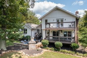 Lake Escape offers the discerning traveler an opportunity to stay at some of the most beautiful and well-kept homes on the lake. After a long day of Lake Norman hiking, you will be delighted to retreat to your vacation rental for rest, relaxation, and fantastic views. Unwind on the deck or head out for a sunset kayaking tour. With plenty of wonderful nearby restaurants and other things to do, the only thing you need is more vacation time.